


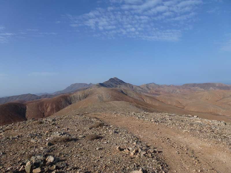
 A long and heavy hiking track, starting from the city of Pájara, via the mountains down to La Pared at the isthmus of Fuerteventura. This track is demanding. A long and heavy hiking track, starting from the city of Pájara, via the mountains down to La Pared at the isthmus of Fuerteventura. This track is demanding.
Approx. distance: 27 km, approx. elevation: 300 m
|
Track Information |
|||
|---|---|---|---|
| Min Elevation | 211.26 m | Max Speed | 0 m/s |
| Max Elevation | 0 m | Average Speed | 2.78 m/s |
| Total Elevation Gain | 0 m | Total Distance | 27360 m |
| Total Elevation Loss | 0 m | Total Time | 2h 44m 15s |
| Way Points | 0 | Route Points | 5862 |
| Track Points | 0 | ||
|
Values not available in the file may shown as 0. This track was downloaded 159 time(s). Download Track |
|||
Google(R) Fly-Over