


| A hiking track starting in Lajares (football ground) via Villaverde - La Oliva - Tindaya - The Unamuno Monument (Montaña Quemada), to Tefia. Approx. length: 26 km, approx. elevation: 200 m |
|
A long hiking track from Morro Jable to the lighthouse at the south cap of Fuerteventura. Be sure to take with you plenty of water and to organise your way back.
Approx. distance: 20 km, approx. elevation: 50 m
|
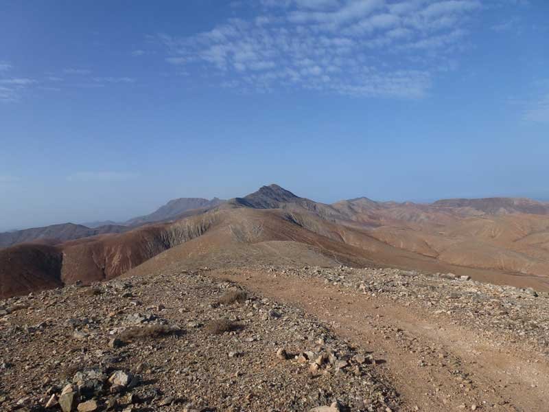 A long and heavy hiking track, starting from the city of Pájara, via the mountains down to La Pared at the isthmus of Fuerteventura. This track is demanding. A long and heavy hiking track, starting from the city of Pájara, via the mountains down to La Pared at the isthmus of Fuerteventura. This track is demanding.
Approx. distance: 27 km, approx. elevation: 300 m
|
| A long and partly steep hiking track through the central mountains, from the city of Betancuria to Pájara.
Approx. distance: 20 km, approx. elevation: 450 m
|
| A long and in parts steep hiking track, starting from Tefia, through the central plains, over the mountains to Betancuria. This track is demanding.
Approx. distance: 19 km, approx. elevation: 460 m
|
.jpg) This track follows the coastal line of the Northern coast of Fuerteventura with rocky and sandy beaches and leads you to the tiny village Majanicho, the light house and museum, the centre of El Cotillo with its two harbours, the little fortress and last but not least the superb lagoons and surf beaches. Approx: Distance: 25 km – Approx. Elevation: 24 m |
|
You will pass a clogged dam which lays between impressive mountains, the most famous chapel of the island (Ntra. Sra. de la Peña), Buen Paso and the valley of Ajuy till the fishermen’s village of Ajuy. Approx: Distance: 15,7 km – Approx. Elevation: 265 m |