


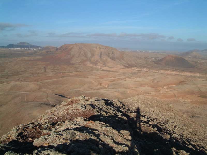
 The track starts in a dried river and goes up to a platform. Then you go East on a shoulder to reach the top. Tip: start very early in the morning so that you have reached the top when the sun rises: unforgettable moments! The track starts in a dried river and goes up to a platform. Then you go East on a shoulder to reach the top. Tip: start very early in the morning so that you have reached the top when the sun rises: unforgettable moments!Approx: Distance: 8,2 km – Approx. Elevation: 240 m |
Track Information |
|||
|---|---|---|---|
| Min Elevation | 74 m | Max Speed | 0.6 m/s |
| Max Elevation | 256 m | Average Speed | 0.56 m/s |
| Total Elevation Gain | 187 m | Total Distance | 1850 m |
| Total Elevation Loss | 6 m | Total Time | 0h 55m 39s |
| Way Points | 0 | Route Points | 0 |
| Track Points | 164 | ||
|
Values not available in the file may shown as 0. This track was downloaded 356 time(s). Download Track |
|||
Google(R) Fly-Over